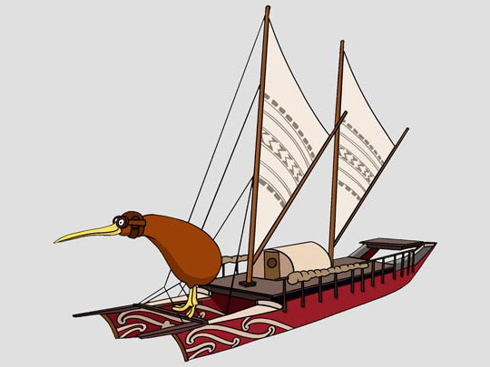
Check out these two ways of mapping the Pacific Ocean. One was made using a compass by the famous English explorer Captain James Cook. The other was made by one of Polynesia's great navigators: Tupaia.
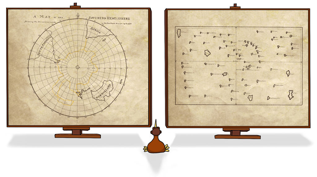
Check out these two ways of mapping the Pacific Ocean. One was made using a compass by the famous English explorer Captain James Cook. The other was made by one of Polynesia's great navigators: Tupaia.
Captain Cook gets all the glory for mapping New Zealand, but he actually had a lot of help!
In the video we said that Tupaia's presence on the Endeavour was like if Martians had landed on the Auckland Harbour bridge and Billy T. James was onboard. Do you know who Billy T. James is?
Billy T. James was one of the funniest comedians Aotearoa has ever produced. Check out Billy's take on the arrival of Captain Cook.
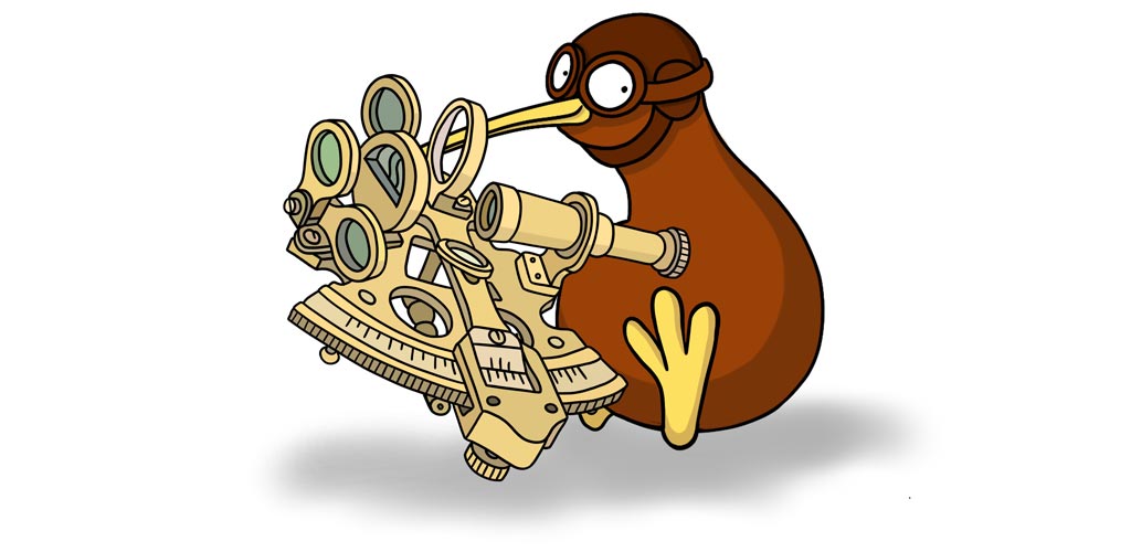
Both Tupaia and Captain James Cook relied on the movement of sun and stars to find their way across the Pacific. But Captain Cook had a machine called a sextant to measure the angle between the horizon and the sun and stars. After heaps of mathematical calculations, he could use this information to find his latitude and longitude on a map.
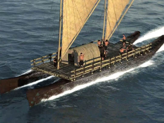
Our friend Ben Meinung-Thompson saw a sextant in action onboard a replica of Cook's Endeavour as it sailed from Sydney to Aotearoa.
Guided by a sextant - the replica Endeavour took 15 days to cross from Sydney to Auckland. Guided by the sea and stars, the double hulled waka Fa'afaite took 21 sailing days to travel from Tahiti to Aotearoa. Who sailed the fastest? Check out the Land of Voyagers Tracker, and compare Fa'afaite's journey (Leg 1) with HMB Endeavour's crossing (Leg 2).
Hint: Click 'The Voyage' below 'Tuia 250: Leg 3' to see the other Legs
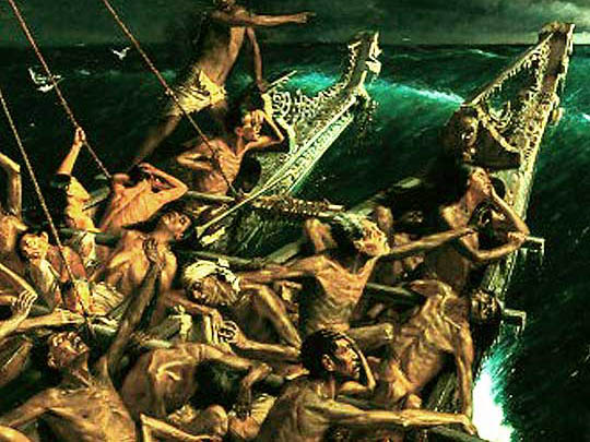
So who was the most famous navigator in New Zealand? Captain Cook or Tupaia? Why? Could it be that for a hundred years people got the wrong idea from a painted picture? To find out more, take a look at Part 5 - The Arrival!
If you are looking for some fun activities about our most famous explorers, take a look at Part 4 - Things To Do.